
Years of Experience
Our Service
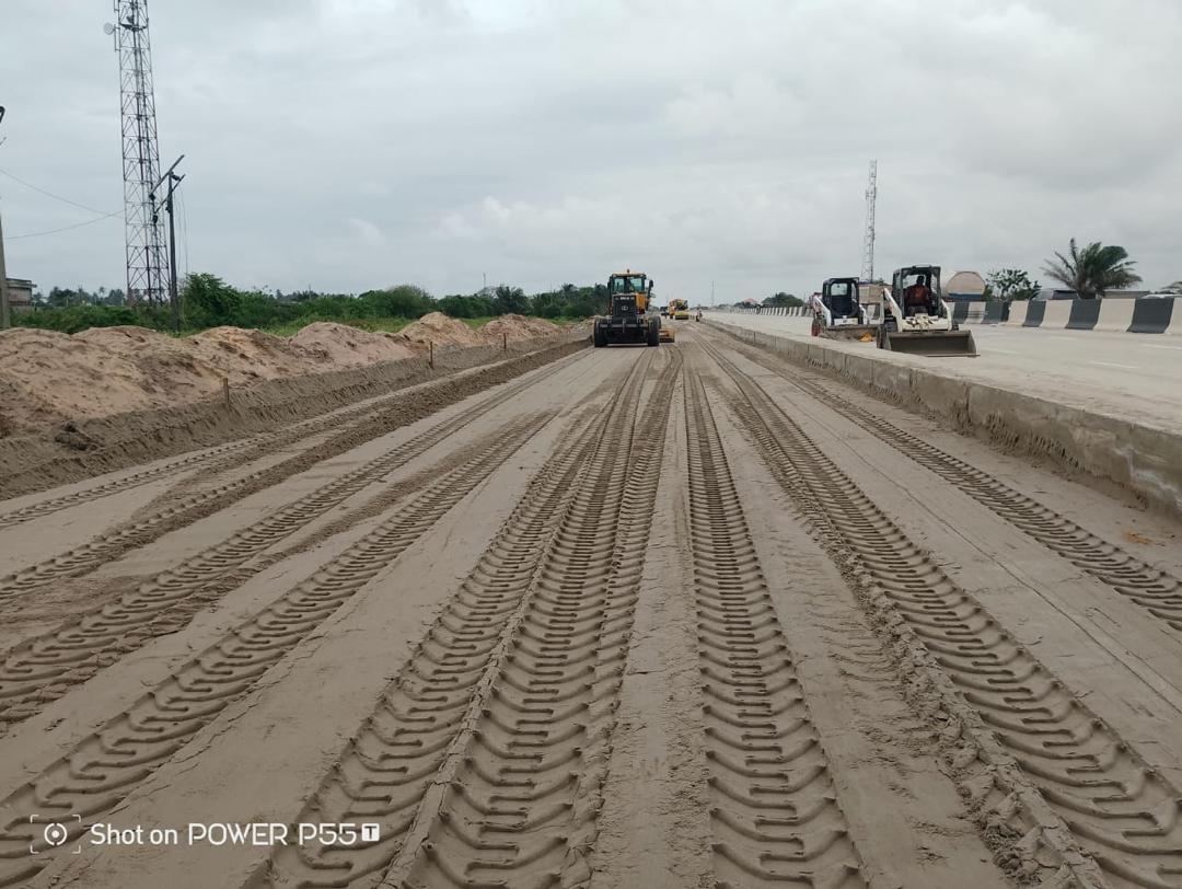
Concept to Completion
With more than two decades of experience, our team of experts combines innovation, precision, and integrity to deliver sustainable projects that stand the test of time. From concept development to final execution, we emphasize quality, safety, and efficiency at every stage of our operations. Each project reflects our commitment to transforming ideas into reality, improving community connectivity, and contributing to national development. Through strong partnerships, advanced technologies, and a highly skilled workforce, Zephyrgold continues to redefine excellence in Nigeria’s construction and engineering landscape.
What We Offer
Delivering Excellence
Our services extend across multiple sectors, including road construction, civil engineering, building works, industrial systems, and turnkey project delivery. From concept development to final execution, we emphasize quality.
We design and execute durable civil structures and buildings that meet international safety and quality standards. Our expertise includes bridges, dams, roads, and complex foundation systems combining functionality with long-term reliability. We deliver excellence
Our team delivers complex industrial and mechanical works for factories, plants, and specialized facilities. We integrate advanced technology and strict quality control to guarantee reliable, sustainable, and high-performance systems suited to the demands of modern industries.
We manage every phase of project development from planning and design to procurement and commissioning. This integrated approach ensures on-time delivery, cost efficiency, and seamless coordination that guarantees client satisfaction and dependable results.
We build modern residential and commercial properties designed for comfort, aesthetics, and functionality. Our developments balance architectural creativity with structural precision, ensuring sustainable spaces that enhance living and working experiences for individuals and organizations alike.
We provide efficient and reliable electrical and mechanical services including lighting, power systems, HVAC, and plumbing. Every installation is executed with attention to detail, ensuring compliance, safety, and energy efficiency for both industrial and commercial applications.
We harness technology to improve engineering design, project management, and operational efficiency. Our innovative digital tools support accurate planning, streamlined execution, and smart infrastructure solutions that keep clients ahead in a fast-evolving construction.